Toll Road Command
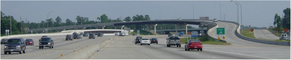
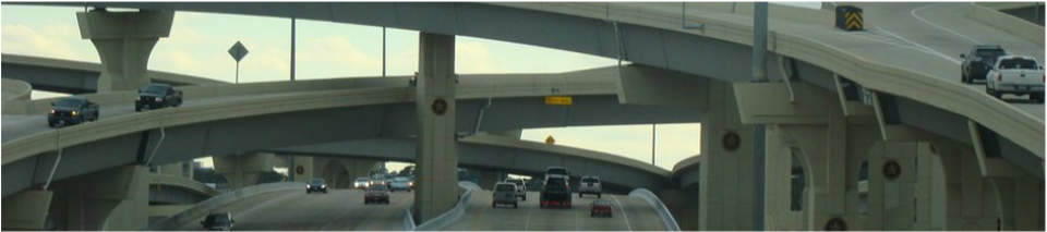
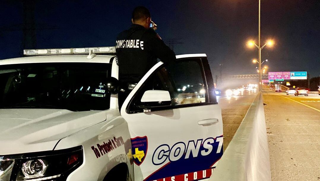
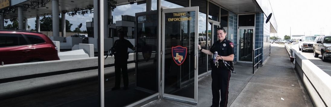
The Toll Road Command is designed to facilitate the flow of traffic on the toll roads as well as provide security for the patrons who utilize them through traffic and DWI enforcement initiatives. Deputies enforce all traffic laws, investigate accidents and are available for motorist assistance when needed. Deputies assigned to the Toll Road Command are often trained in the areas of narcotics interdiction, accident investigation/re-construction, crime scene photography, and RADAR/LIDAR. Precinct 4 is tasked with patrolling the entire Tomball Tollway, all of the Hardy Toll Road north of the Sam Houston Tollway, and the Sam Houston Tollway from US 290 to JFK Blvd., east of Interstate 45. The toll roads are operated by the Harris County Toll Road Authority (HCTRA). For questions about toll violations, please visit HCTRA's website.

Sam Houston Tollway
The Sam Houston Tollway is currently the outer-most loop encompassing the City of Houston and surrounding areas within Harris County. The adjacent frontage roads along most of the Sam Houston Tollway, and certain portions of the mainlanes (freeway) that are not tolled are commonly known as the Beltway 8 and fall under TxDOT's jurisdiction. These non-tolled freeway areas are between IH 45 North and just east of US 59 North, and between US 90 and IH 10 East. In east Harris County, the Sam Houston Tollway crosses the Houston Ship Channel. The tolled Ship Channel Bridge connects IH 10 East (Baytown - East Freeway) to SH 225 (La Porte Freeway). On Feb. 26, 2011, the 13-mile Sam Houston Tollway Northeast section between US 59 and US 90, opened with all-electronic tolling. All-electronic tolling means there are no toll booths, and no cash payment is accepted. An EZ TAG or other interoperable Texas toll payment tag is required. The opening of the Northeast section completed the circle nearly 23 years after the first section of this toll road opened. The Sam Houston Tollway spans a distance of 70 miles.
Tomball Tollway
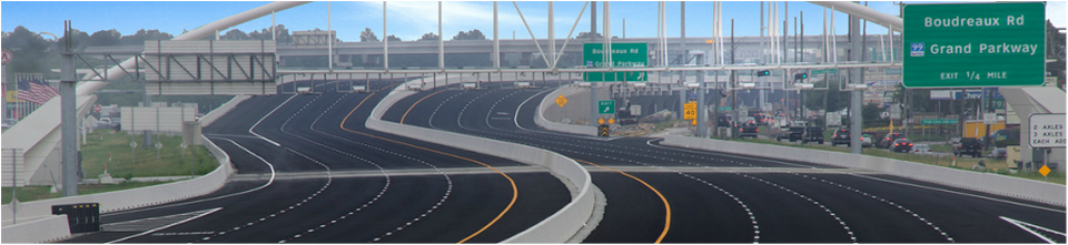
The Tomball Tollway opened on April 12, 2015 as an all-electronic tollway. All-electronic tolling means drivers must have an EZ TAG or other inter-operable Texas toll tags to use the lanes. No cash payment is accepted on this roadway.
The six-mile tollway consists of three toll lanes in each direction along the SH 249 corridor between Spring Cypress Road and FM 2920. The existing frontage road lanes along the tollway remain toll-free.
The six-mile tollway consists of three toll lanes in each direction along the SH 249 corridor between Spring Cypress Road and FM 2920. The existing frontage road lanes along the tollway remain toll-free.
Hardy Toll Road
The Hardy Toll Road runs from Interstate 45, north of Houston just below the Harris County line, to Interstate 610, near central Houston. The road generally parallels Interstate 45. Construction of the toll road began in September 1984 and was complete by June 1988. The toll road spans approximately 21 (21.08) miles with an additional 2 miles connecting it to George Bush Intercontinental Airport. The road is named for nearby Hardy Street, which in some areas makes up the frontage roads for the toll road.